 Skip to main content

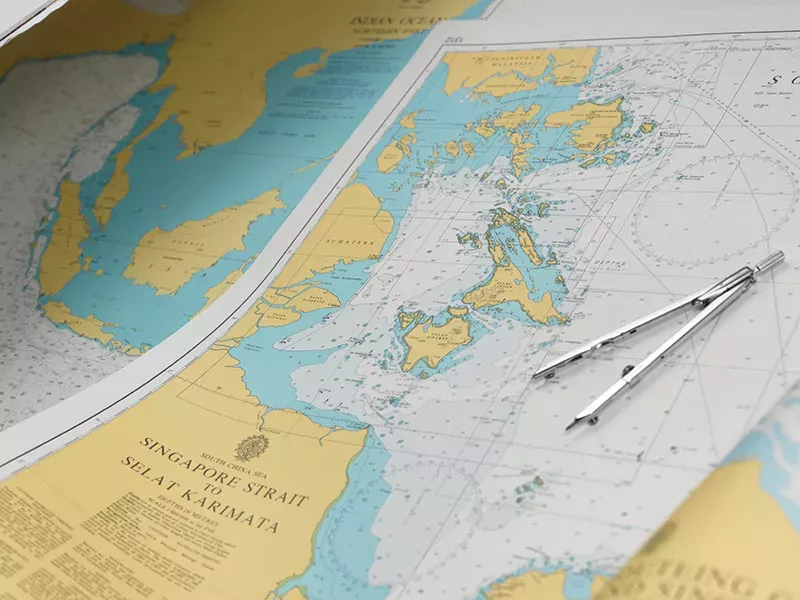
- Over 3,500 ADMIRALTY charts with coverage appropriate for navigation of deep sea, coastal passages, port approaches and harbour berthing
- A range of scales to provide appropriate levels of detail and increase situational awareness, including: Large-scale charts for main ports and harbours, medium scale charts for coastal navigation and small-scale charts for offshore navigation
- Weekly updates and new editions to help maintain high levels of accuracy, safety and compliance
Available through ADMIRALTY Print On Demand (POD)
POD allows our ADMIRALTY Distributors to print the latest SNCs on site and fulfil your ship’s urgent orders in the quickest time possible.
You can find out which ADMIRALTY Distributors offer POD on our How to Buy page.
|
Film Title |
Description |
Link |
|---|---|---|
|
Film Title Equipment and tools |
Description The tools you will need, and how to use them, when updating ADMIRALTY Standard Nautical Charts using ADMIRALTY Notices to Mariners |
Link Watch Tutorial |
|
Film Title An overview of Notices to Mariners and how to use them |
Description An overview of NMs, how to use them and keep a record of applied updates |
Link Watch Tutorial |
|
Film Title Explanation of terms and symbols |
Description An explanation of terms and symbols you might find on an NM Tracing |
Link Watch Tutorial |
|
Film Title Inserting a cable |
Description How to insert a cable |
Link Watch Tutorial |
|
Film Title Inserting a legend |
Description How to insert a legend |
Link Watch Tutorial |
|
Film Title Amend the range of a light |
Description How to amend the range of a light |
Link Watch Tutorial |
|
Film Title Inserting a buoy and description |
Description How to insert a buoy and description |
Link Watch Tutorial |
|
Film Title Moving a light beacon |
Description How to move a light beacon |
Link Watch Tutorial |
|
Film Title Inserting and deleting a leading line |
Description How to insert and delete a leading line |
Link Watch Tutorial |
|
Film Title Replacing a depth |
Description How to replace a depth |
Link Watch Tutorial |
|
Film Title Deleting a buoy and description |
Description How to delete a buoy and description |
Link Watch Tutorial |
|
Film Title Deleting a light description and sector |
Description How to delete a light, description and sector |
Link Watch Tutorial |
|
Film Title Deleting a note |
Description How to delete a note |
Link Watch Tutorial |
|
Film Title Moving a buoy |
Description How to move a buoy |
Link Watch Tutorial |
|
Film Title Applying an NM Block |
Description How to apply an NM Block |
Link Watch Tutorial |
|
Film Title What to do if you make a mistake |
Description How to remove mistakes made during updates |
Link Watch Tutorial |
Leisure Chart updating
We also provide Notices to Mariners (NMs) for our Leisure Chart series, as well as guidance on how to apply these updates to Leisure Charts.
Sending copies of ADMIRALTY Charts and Publications
A statement on the copying and transmission of ADMIRALTY charts to vessels at sea.
The ADMIRALTY Digital Catalogue (ADC) can also provide you with a comprehensive reference of all ADMIRALTY Maritime Data Solutions.
ADMIRALTY Raster Chart Service
Electronic raster chart coverage of international shipping routes