 Skip to main content

Shipping is undergoing a digital transformation. From navigation to shore-based voyage optimisation management, digital tools and technologies are enhancing the way shipping companies operate. From improving efficiencies to helping the industry achieve its shared decarbonisation goals, data and connectivity will have an important role to play in helping users to make more effective and responsible decisions.
While previously the maritime industry has been restricted by slow and often unreliable connectivity at sea, recent years have seen significant developments in satellite communications and ship-to-shore connectivity. Now, an increasing number of shipping companies are embracing the benefits digital solutions have to offer.
Supporting ship-to-shore communications
One of the key enablers of maritime digitalisation is the investment being made in space infrastructure and Low Earth Orbit (LEO) satellite constellations.
LEO satellites orbit at altitudes 50 times closer to the Earth than Geostationary Orbit (GEO) satellites, providing higher connection speeds, lower latency communications and greater affordability. For example, OneWeb estimate their LEO satellites offer up to 20 times more bandwidth and five times lower latency. This is similar to the connectivity being offered by 4G and terrestrial fibre services today.
With the world becoming increasingly connected and consuming more data than we’ve ever known, this is enabling more powerful end-to-end decision making across the maritime industry. So how will enhanced communications transform the way vessels operate and navigate at sea?
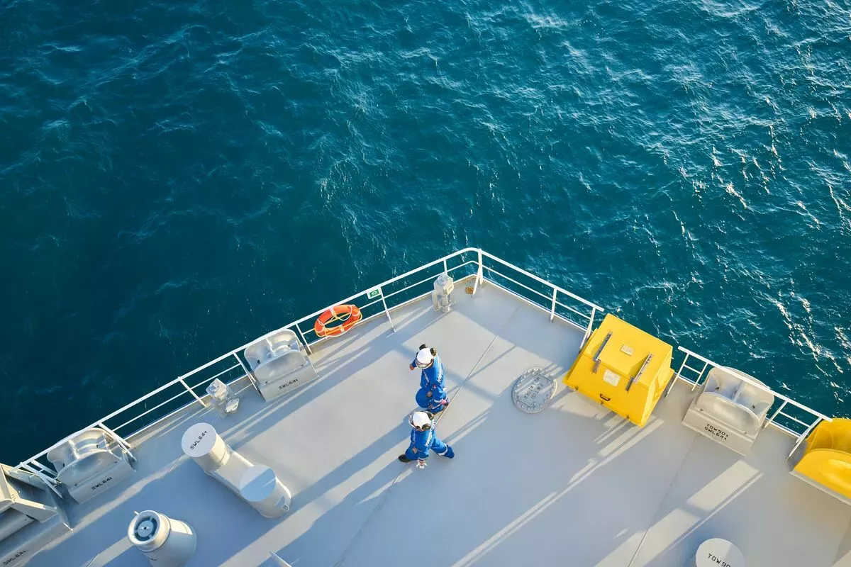
Connecting crews
LEO satellites are paving the way for a more connected maritime ecosystem – blurring the boundaries between ship and shore. For crew members, improved internet access not only means smoother video streaming and faster web browsing but, crucially, it also means easier access to social media and video calling to help keep them connected to loved ones at home.
For those seafarers who may spend months at a time at sea, connectivity is therefore vital to crew welfare and morale, which can also help with retention of crew members in the longer term.
Optimising operations
Having better connected crews also brings a clear business benefit: enabling teams to continually optimise operations.
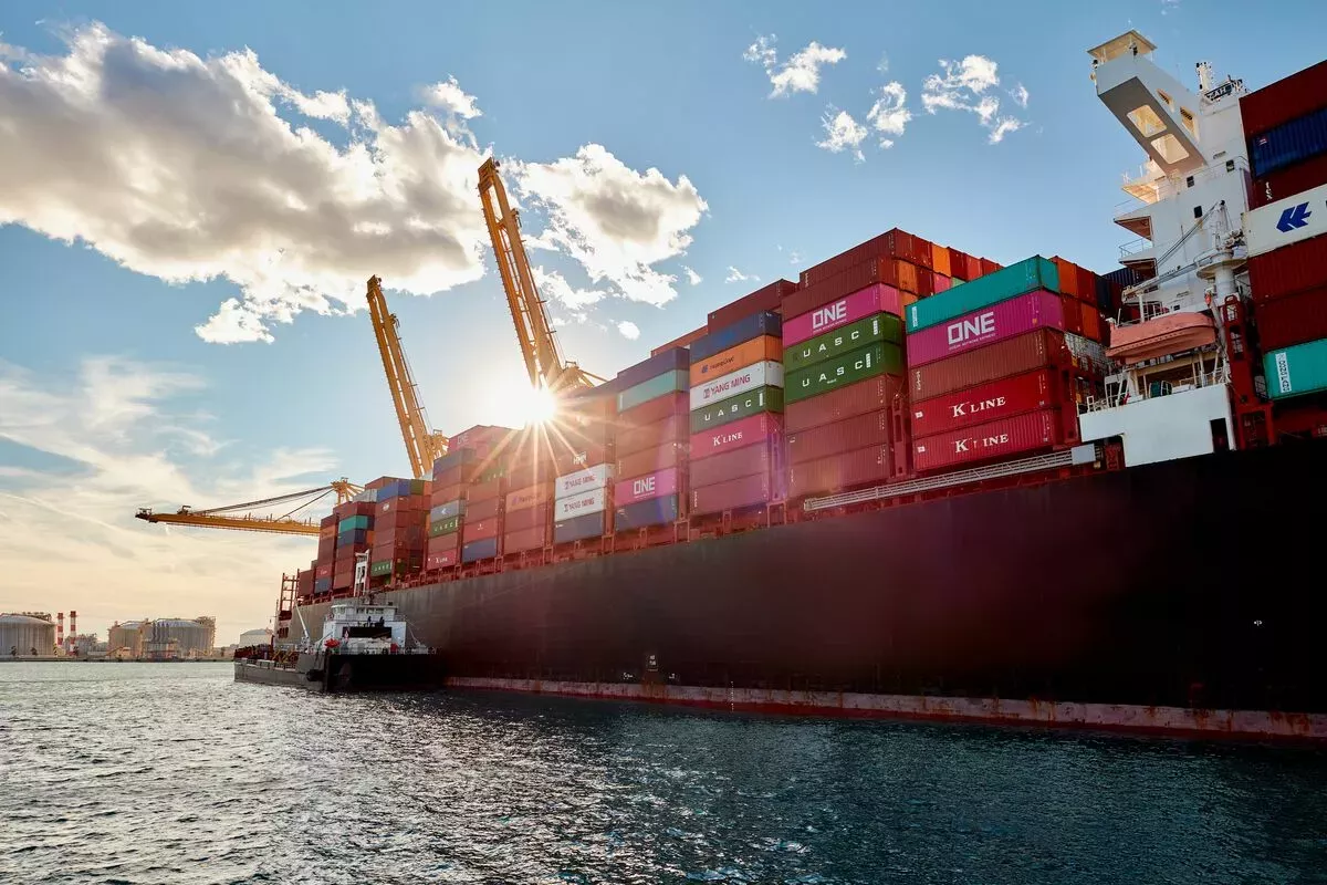
With vast amounts of vessel data generated every minute – from real-time diagnostics to data from onboard sensors – this information can be invaluable in helping shore-based teams to monitor their ship’s performance and even the cargo contained on board. For example, modern remote container management solutions are providing real-time data on the location, temperature and conditions of cargo at sea, granting their customers greater visibility of their goods during the end-to-end voyage.
Equally, shore-based teams can provide timely information to aid navigators’ situational awareness, such as changing weather observations, tidal currents or congestion levels at port. In turn, the vessel operator can alter their speed, passage and arrival time accordingly to optimise fuel efficiency – bringing both economic and environmental benefits.
Faster data delivery
LEO satellite connectivity is also transforming the speed at which navigational information is delivered to ECDIS.
Since the launch of ADMIRALTY Vector Chart Service (AVCS), updates to Electronic Navigational Charts (ENCs) have traditionally been issued on a weekly basis. Now, leveraging this improved on-board connectivity, the UKHO is able to issue ENC updates and navigational information on a daily basis – or in some cases, as frequently as every six hours. With continually updated ENCs, mariners can be confident they have the latest information available in AVCS to make the decisions they need.
Equally, mariners no longer need to be constrained by the volumes of navigational data they receive. While today, the entire portfolio of ENCs available in AVCS equates to just 7GB, we can expect the next generation of navigational solutions to contain much larger data sizes thanks to the complex data layers afforded by S-100. The bridge of the future will be capable of receiving detail-rich data in near real time – from granular bathymetry to dynamic tidal information – helping to build an accurate and comprehensive view of the marine environment.
Enabling autonomous navigation
Being able to share timely, detail-rich data will also be essential to the development and safe operation of Maritime Autonomous Surface Ships (MASS). This will enable ships with limited crews to be remotely controlled from on shore, and even set the foundations for fully autonomous ships that can use data to determine actions by itself.
For autonomous vessels of the future, connectivity will be key. Without a crew on board, MASS will be fundamentally reliant on continually updated, near real-time data in order to interpret and navigate the surrounding marine environment. In place of a human captain, an AI ‘captain’ will have the computing power to process vast quantities of complex data simultaneously – data that would otherwise be overwhelming if displayed on a chart designed for human interpretation.
Such autonomous vessels could also provide an efficient and cost-effective alternative for hydrographic surveying. Not only are Uncrewed Surface Vessels (USVs) often less intrusive on the environment and easier to manoeuvre due to their size, they can also be more efficient to operate in terms of cost and carbon emissions.
In fact, USVs are already being deployed by a growing number of companies to undertake hydrographic surveying of waterways and channels; this includes the first autonomous survey conducted under the UKHO’s hydrographic framework, which was undertaken by XOCEAN to collect data of the Western Approaches to the UK for use in navigational products and services.
Supporting the future of navigation
As shipping continues its journey towards digitalisation, enhanced maritime connectivity will clearly offer a range of benefits and opportunities from ship to shore.
This formed part of the discussion at our recent webinar, ‘Navigating the maritime future: Turning data into decisions’, where Peter Sparkes and Thomas Mellor discussed the future of the maritime industry including the impact of digitalisation and decarbonisation. During the sessions, Peter and Thomas discussed how we’re continuing to work closely with organisations across the industry to leverage the latest digital technologies and improve the delivery of data and support safe, efficient and compliant voyages for years to come.
Watch the webinar to learn more about the future of shipping and the important role of data for decision making.

Name
Thomas Mellor
As Head of Technical Partnerships, Tom leads the UKHO’s collaboration with technical partners including Original Equipment Manufacturers (OEMs) to enable the development of e-navigation products and S-100 solutions for Electronic Chart and Information Display Systems (ECDIS). Tom works at the forefront of the latest ‘next generation’ navigation technologies to support the implementation of new standards that can help improve safety, efficiency and optimisation.