 Skip to main content
Each day, brave men and women across the country put their own safety at risk to respond to emergencies along our coastlines. In fact, in 2018 the government’s Coastguard Search and Rescue Coordination Network responded to more than 24,000 incidents in UK waters. Central to the success of these operations is effective communication; this includes having quick and easy access to simple, contextual information to coordinate responses. For location-based information, this data is usually shared and displayed across geospatial portals.
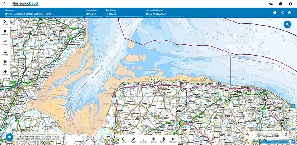
Our new Simplified Marine Context Service enables these portals to display crucial maritime data to support emergency responders. By displaying key data sets on a bespoke base map, the service gives users a clear understanding of the marine environment ‘at a glance’. Providing uncluttered context with depth ranges and bespoke portrayal, this information has been carefully selected to support planning, response and recovery.
Going forward, the Cabinet Office will use the service to enhance ResilienceDirect: a private online system designed to share information with a wide range of emergency responders, Local Resilience Forums and partner agencies, in support of the Civil Contingencies Act. In doing so, these users will now be able to access maritime data to help them work effectively to carry out the government’s emergency response efforts.
The Simplified Marine Context service is also set to be used by other regional and central government bodies, including the Civil Contingencies Committee (COBRA) and Local Resilience Forums. In such critical situations, timely information is key; so, by sharing the data we hold, this will help support planning for localised incidents and more widespread emergencies alike.