 Skip to main content

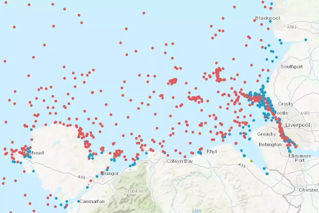
Wrecks and obstructions
An extensive data set containing over 94,000 charted, uncharted, live and dead wrecks and obstructions from around the world. Updated on a quarterly basis, this data set is made available free of charge under an Open Government Licence, which can be accessed here.
Maritime limits
Download maritime limits and boundaries as data sets and illustrations for the UK, UK Crown Dependencies and UK Overseas Territories.
Ships' routeing
Download data showing ships' routeing measures around the UK, approved by the International Maritime Organization (IMO) and/or the Maritime and Coastguard Agency (MCA).
Offshore infrastructure
Preview, purchase and download offshore infrastructure data sets around the UK including wind farms, surface and subsurface structures, pipelines, and associated statutory safety zones.
Marine data sets
At the UKHO, our teams collate, process and publish terabytes of data – from bathymetric profiles depicting the seafloor, to astronomical data on the celestial objects above us. Through our ADMIRALTY Marine Data Portal, users can not only access extensive data on bathymetry, but also information on maritime limits, ships' routeing, wrecks and obstructions, and offshore infrastructure.
As well as supporting the evolving needs of mariners and existing users of our ADMIRALTY products and services, these data sets can also support decision making in new markets across the blue economy.
Data Exploration Licence
Use our Data Exploration Licence (DEL) to download samples of UKHO chart data to find out if it's suitable for you. Available free of charge, you can use our UKHO DEL sample data for 12 months, under flexible terms and conditions.