 Skip to main content
Safer navigation and enhanced situational awareness
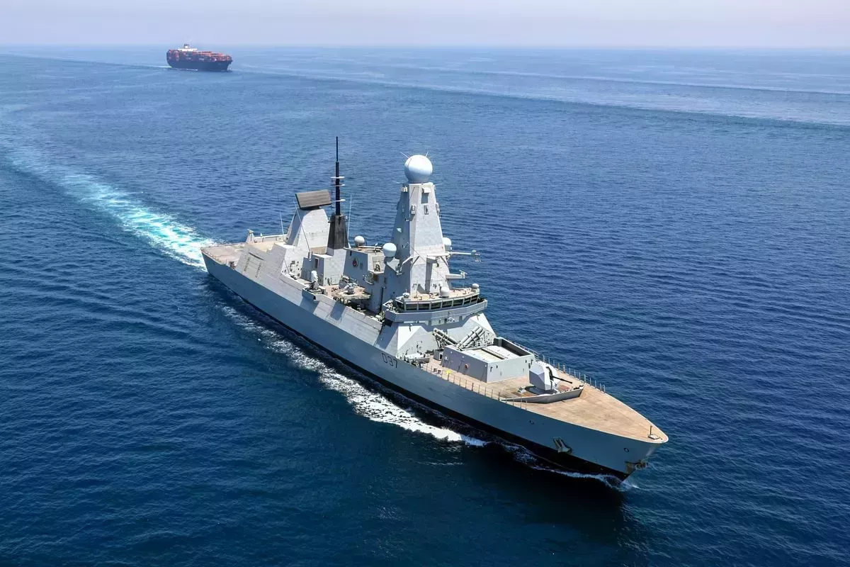
The Royal Navy and all UK defence vessels, from ships to submarines, rely on our products and services for safe navigation.
Fundamental to the Strategic Defence Review, we work closely with maritime forces and global allies to protect our home waters and national infrastructure, international trade routes and the world’s oceans.
Our wide-reaching expertise and close collaboration help ensure the most effective operations for UK defence and our national security.
Tactical operations and planning
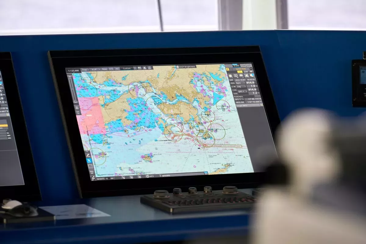
Our specialist teams help provide the best possible view of the marine environment to support tactical operations and planning – from subsea navigation to littoral manoeuvre. This includes bespoke solutions that deliver hydrographic information, ocean environment data and remote sensing to aid environmental intelligence and tactical advantage.
Additional Military Layers is a range of digital geospatial products designed to enhance situational awareness in the marine environment.
Defence products and services
From existing data holdings, we create navigation and enhanced marine environment products for dived and surface vessels, amphibious craft and maritime air platforms.
ADMIRALTY Maritime Security Charts
MSCs contain security-related information to assist bridge teams in planning safe passages through areas of increased risk. All information has been gathered by the UKHO working with NATO, other government agencies and international partners, ensuring that each chart has the most accurate, up-to-date and verified information available.
Autonomous capability and the UKHO Military Data team
Supporting the Royal Navy’s (RN) mine warfare capability, the UKHO delivers the products and services needed to enable defence maritime operations for the safety and security of UK waters.
Military ENC for the Carrier Strike Group (CSG)
The Royal Navy (RN) relies upon our navigational and operational products and services, to conduct its exercises and operations safely and effectively. As part of our support to the RN, we are the lead hydrographic partner for the United Kingdom’s Carrier Strike Group (UKCSG).