 Skip to main content
Search Title
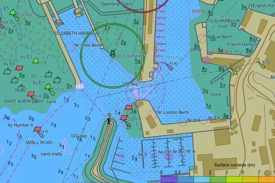
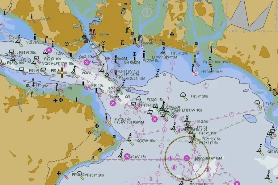
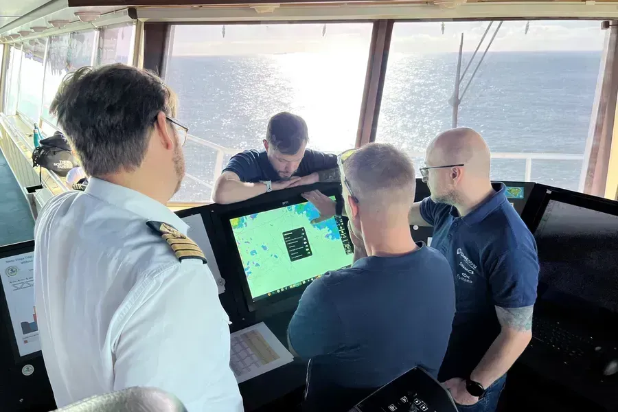
Four ports, one emerging global view of S-100
Could having more maritime data actually reduce the amount of interpretation required on the bridge? In this multimedia feature article, pilots, mariners and hydrographic offices reflect on evaluating trial S-100 data sets across four challenging port environments, revealing a consistent view of how richer maritime data could support more efficient navigational decision-making.
Search Title
Understanding ECDIS alerts: How to reduce alarm fatigue
For most navigators, the sound of an ECDIS alert is unmistakable. Depending on the watch, an ECDIS alert can mean anything from a routine chart update to an imminent grounding risk. The challenge is knowing which is which – and acting accordingly.

Search Title
What Minerva and Angelicoussis bridge teams learned from testing S-100
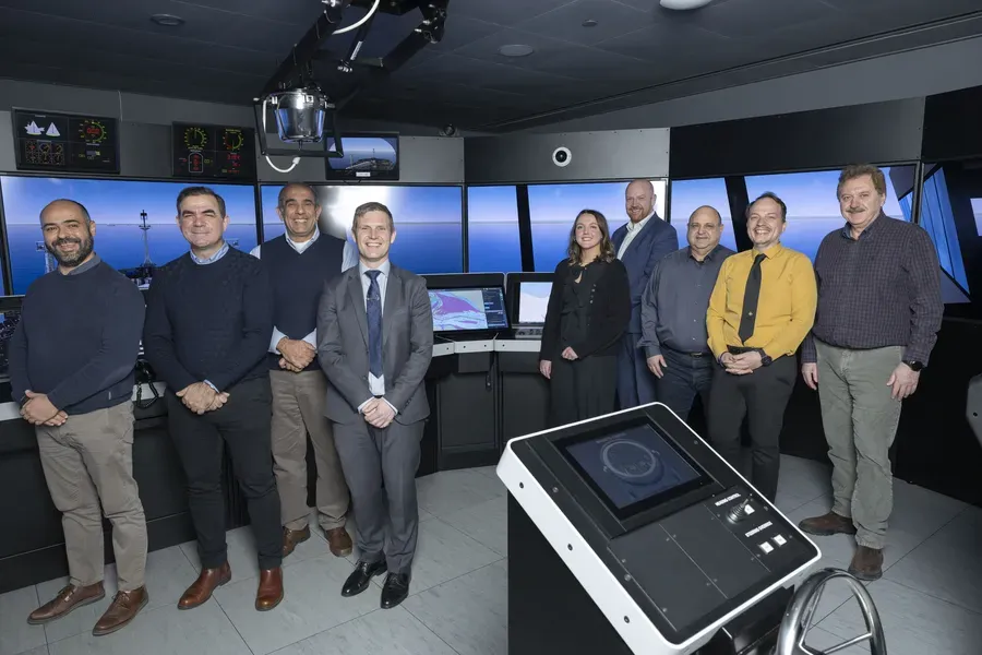
In March 2026, the UK Hydrographic Office (the UKHO), in collaboration with NorthStandard and ship operators Minerva Marine and the Angelicoussis Group, carried out S-100 simulator trials in Athens, Greece.
Search Title
S-100 tested by experienced commercial mariners in Greece
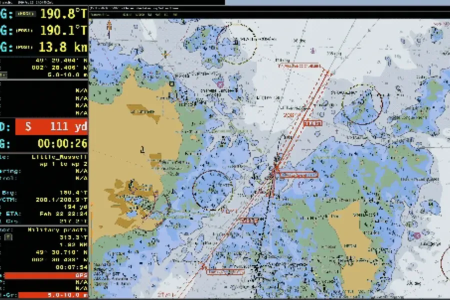
Simulator trials conducted with commercial mariners from leading tanker, LNG and bulk fleets have provided new insight into how S-100 performs in practice, highlighting improvements in clarity, decision-making and planning — alongside the need for careful implementation and training.
Search Title
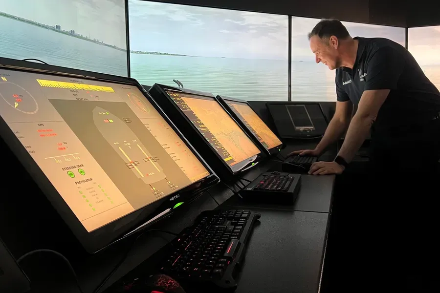
S-100 in confined waters: Port of Southampton
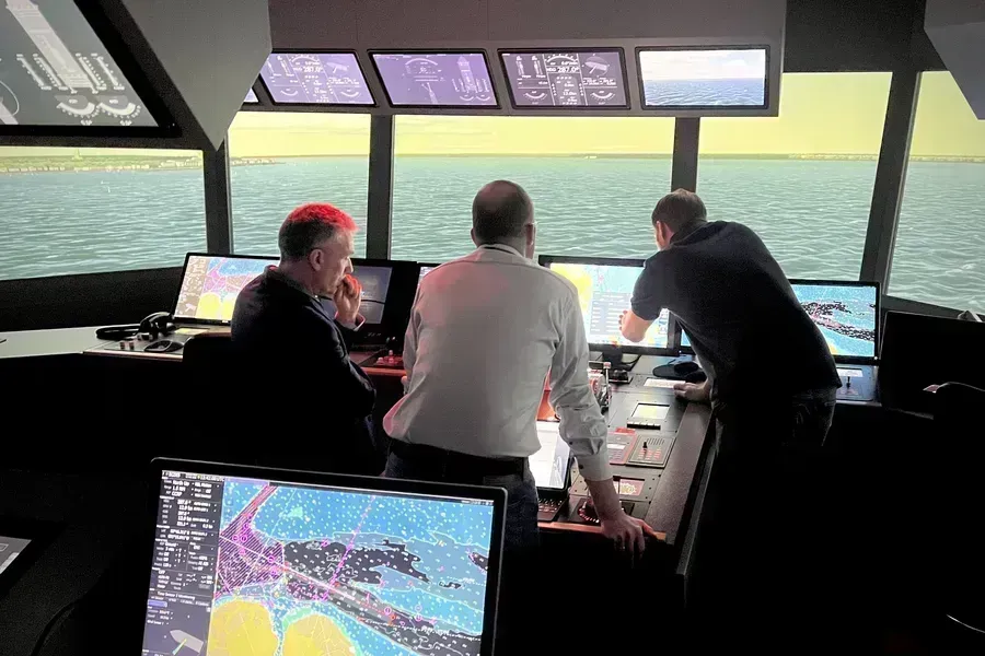
In March 2026, the UK Hydrographic Office (the UKHO) joined global partners at the Center for Simulator Maritime Training (CSMART) to test how S-100 data performs in realistic navigation scenarios.

Search Title
UKHO joins S-100 in Confined Waters international testbed simulator trials
The UK Hydrographic Office (UKHO) has completed a series of bridge simulator trials for its next-generation S-100 data.
Search Title
Why ECDIS training remains critical for safe navigation
New data from NorthStandard highlights where bridge teams are confident with ECDIS and where understanding can be strengthened.
Search Title
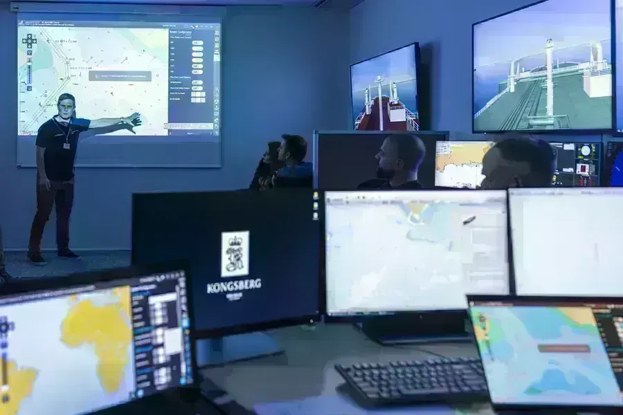
ECDIS Ltd S-100 simulator trial
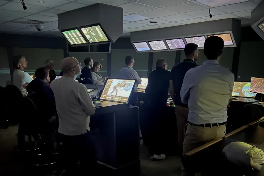
In February 2026, the UK Hydrographic Office (UKHO) brought S-100 data into a live training environment at ECDIS Ltd, working alongside industry partners to explore how the next generation of hydrographic data performs in realistic navigation scenarios.

Search Title
Sustaining the future of ADMIRALTY Standard Nautical Charts
To ensure continued access to paper charts, the UK Hydrographic Office (UKHO) is evolving how ADMIRALTY Standard Nautical Charts (SNCs) are produced. This supports long-term sustainability of the portfolio while maintaining the safety, compliance and coverage mariners need.
Search Title
Data readiness for S-100: the ports' perspective
Ports face growing pressure from larger ships, busier channels, and changing navigation demands. Higher-resolution S-100-ready data can improve safety, efficiency, and coordination — and help ports keep pace with peers already exploring these capabilities.
Search Title
S-100 timelines explained
Understand the S-100 timeline: from the introduction of the IMO Performance Standards to the expected dual-fuel ECDIS era. Discover what these dates mean for ship operators, mariners and ECDIS manufacturers. Stay informed with this definitive guide from the UK Hydrographic Office.
Search Title
The UKHO partners with Shom to launch international S-100 sea trials programme
The UK Hydrographic Office (UKHO) has launched an international sea trials programme in partnership with the French Hydrographic and Oceanographic Service (Shom). The joint programme represents the most comprehensive test of S-100 data standards to date and will form part of the International Hydrographic Organization’s (IHO) coordinated test bed framework.