 Skip to main content
An updated edition of the Harbour Master's Guide to Hydrographic and Maritime Information is now available
 This guide supports harbour masters and port professionals in submitting accurate, timely hydrographic data for inclusion in ADMIRALTY products as Notices to Mariners (NMs), New Editions or other updates.
It outlines how to report changes to bathymetry, port limits, Aids to Navigation (AtoN), and dredged areas — helping ensure ADMIRALTY charts and publications remain up to date and reliable for mariners.
Developed by the UK Hydrographic Office (UKHO), in collaboration with the UK Harbour Masters’ Association (UKHMA), this updated edition reflects technological advances in surveying and data exchange, and directly supports Section 10.4 (Conservancy) of the Port and Marine Facilities Safety Code. It has also been specifically referenced and linked in Section 10.8.1 of the Guide to Good Practice as a recommended tool for ensuring effective hydrographic reporting.
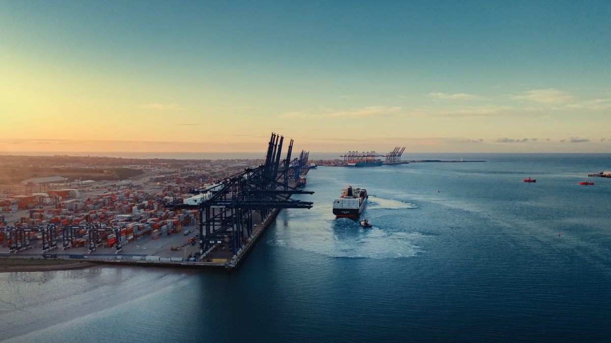
With ports playing a vital role in the safety and efficiency of maritime trade, this guide reinforces the importance of local data in maintaining a global standard of navigational safety.
Download the guide
Download the Harbour Master's Guide to Hydrographic and Maritime Information Exchange below.
Collaboration with ports and harbours
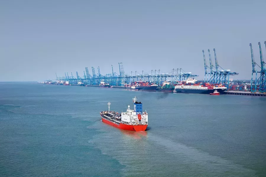
The UKHO relies on port and harbour authorities to provide information from within port limits and their approaches. Find out more about how we work with ports and access guidance and resources on our dedicated page.
Read more on this topic

Search Title
New UKHO Data Upload service now available
You can now share all bathymetric survey data with the UK Hydrographic Office via the Data Upload service.
Search Title
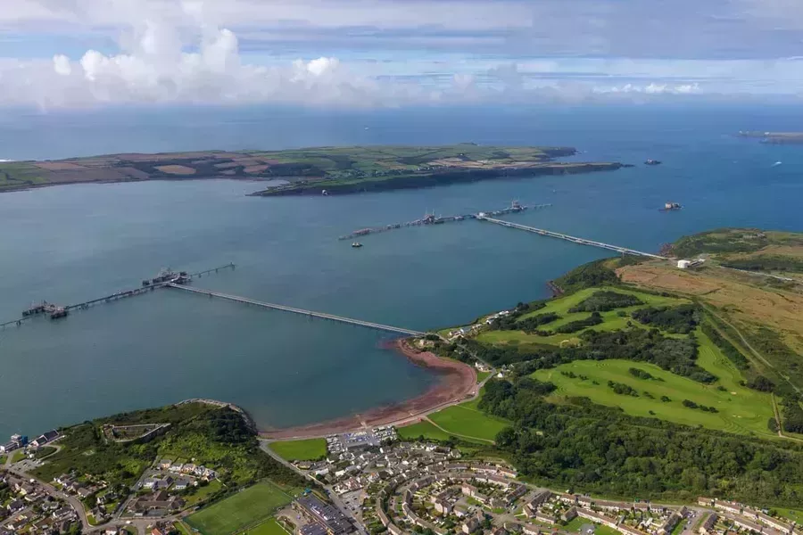
Supporting precision navigation in Milford Haven
The UKHO has been working closely with the Milford Haven Port Authority to develop more precise digital chart coverage and help mariners overcome navigational challenges in the area.
Search Title
Putting S-102 to the test
S-102 holds out the exciting possibility of providing mariners with greater granularity of bathymetric information than the current generation of ENCs, supporting safer and more efficient navigation. In order to move forward with confidence and to ensure that S-102 meets the needs of users, it is important to put it to the test in a real-world setting.