 Skip to main content

The new generation of Sailing Directions
ADMIRALTY Digital Sailing Directions (ADSD) offers quick and easy access to the information you need to create effective passage plans. This new generation of Sailing Directions provides the same trusted planning information in an improved digital format, designed to support safe, efficient and compliant navigation.
Built for practical use, ADSD saves you time, improves the discoverability of Sailing Directions data, and helps you plan with confidence for port entry and coastal navigation.
We are inviting vessels to join our Early Access Programme, offering a first look at the digital transformation of the world’s most trusted sailing directions data. ADSD represents a seamless transition to a more user friendly and interactive sailing directions product.
Unlock the full potential of trusted and compliant ADMIRALTY sailing direction data in a digital format, specifically designed to save time and improve accuracy during the most critical stages of navigation.
Initial Coverage: Routes from the UK to China with additional Sailing Directions being added as released.

Key features
- Compliant UKHO data trusted by mariners globally
- Geo-referenced visualisations clearly shown alongside routeing information for ease of use
- Bookmarking features to streamline your planning process
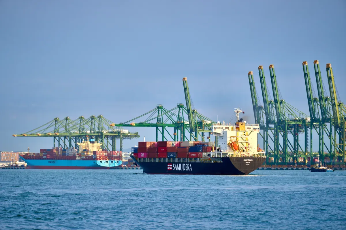
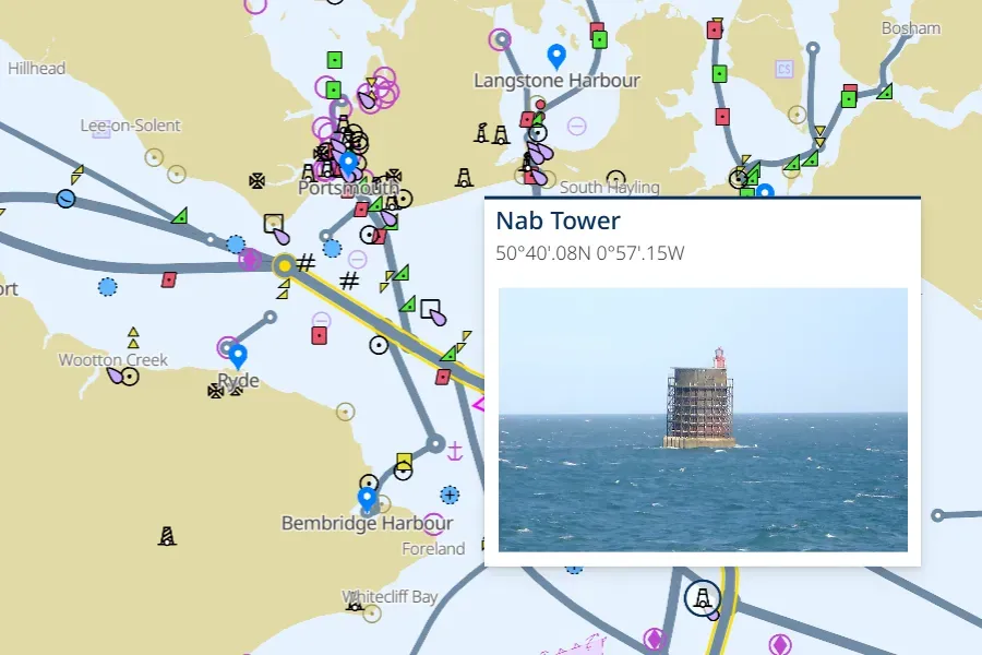
- High-quality images of coastal views and navigational features, including landmarks, beacons, port views and more
Improve situational awareness and support critical planning
Sailing Directions includes high-quality images of navigational features and geo-referenced visualisations, making passage planning simpler. These real-world visual aids enhance situational awareness and support the critical planning stage for port entry and coastal navigation.
Save time during passage planning
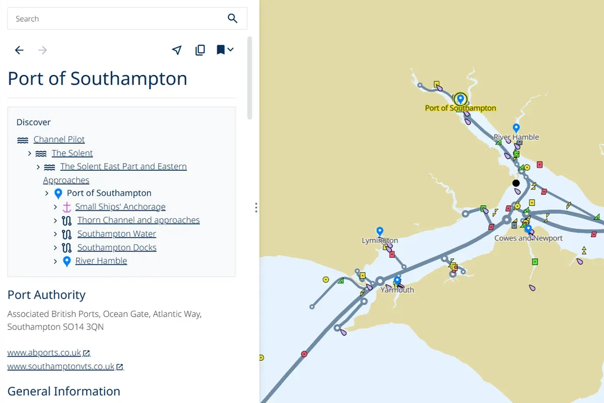
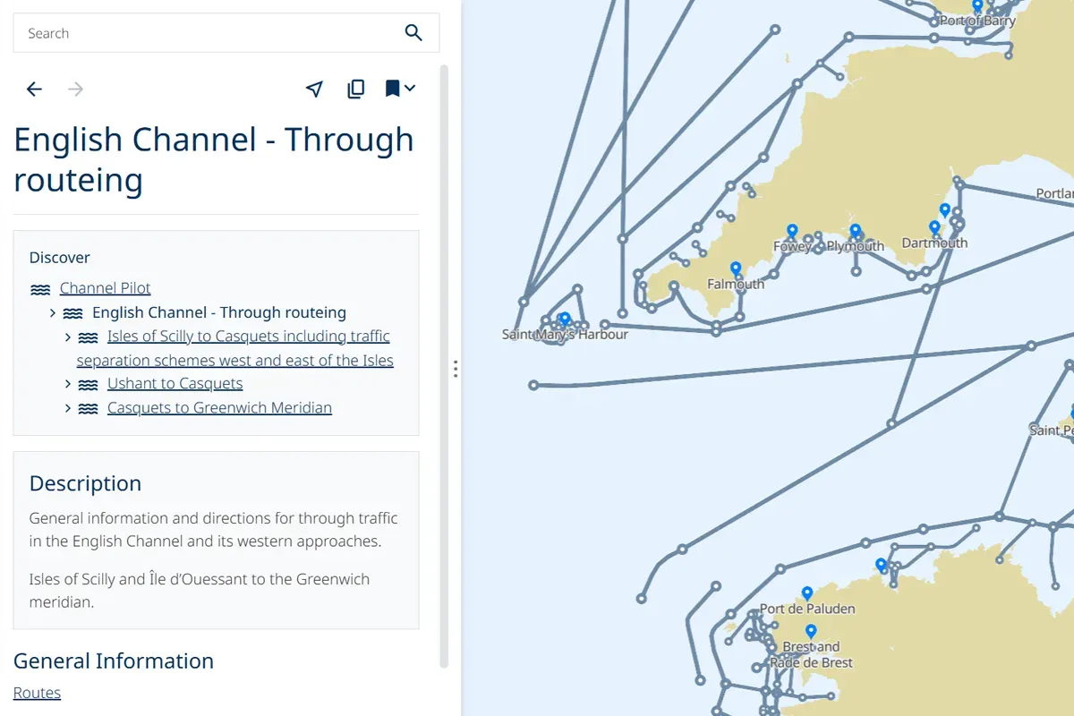
The intuitive user interface removes clutter and clearly displays key navigational information for a wide range of ports and routes. The simple search function makes it easier than ever to find exactly what you need.
Find essential information easily
By displaying a range of indicative routes, ADSD helps mariners to easily find essential routeing information — simplifying the passage planning process.
Discover the key functionalities of ADSD.