Extra information to aid planning
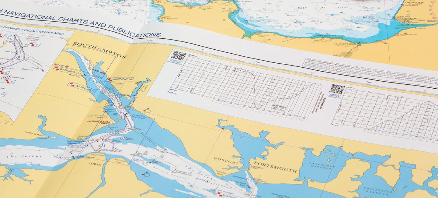
Each Port Approach Guide displays a range of planning information for a specific approach. This additional planning information may include contact details and harbour regulations, Vessel Traffic Service (VTS) information, principal lights and landmarks, specific warnings, tide and climate information, anchorages and prohibited areas, dangerous cargo, pilotage, berth information and port services. Clearly displayed on one chart, this information can help to save bridge officers time during passage planning and Master Pilot Exchange (MPX). It can also help to make the planning of port navigation quicker and easier.
Want to see our Port Approach Guides in use? Our product demonstration film gives you a visual overview of the product's key features
Quick reference
International Code of Signals (ICS) flags link text panels to chart features to help bridge officers identify warnings and notices for the area they plan to sail, improving situational awareness. Quick Response (QR) codes also provide bridge crews with quick access to important information such as port authority websites, as well as online supporting applications such as ADMIRALTY EasyTide and Notice to Mariners WebSearch.
Familiarity and reassurance
All charts display widely used and instantly recognisable features and symbols, giving bridge officers clarity and reassurance during times of peak workload and pressure.

Each Port Approach Guide contains official planning information taken from our portfolio of ADMIRALTY Maritime Data Solutions