 Skip to main content

About the ADMIRALTY Marine Data Portal
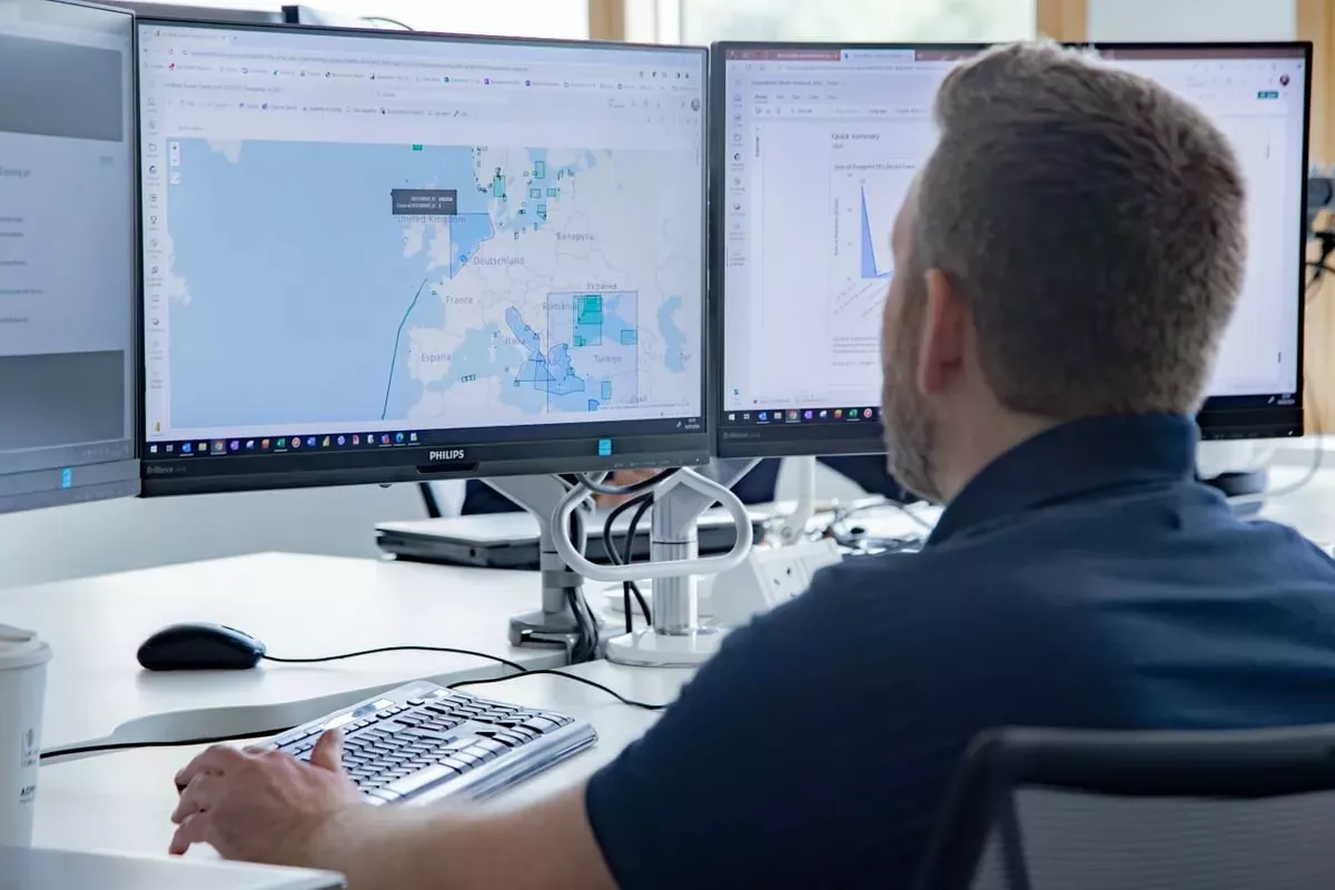
The ADMIRALTY Marine Data Portal is a single access point for a range of marine geospatial data, apps and APIs within the UK's Exclusive Economic Zone.
Unlocking access to a wealth of data
The data we hold is gathered from a range of expert providers by working closely with government organisations, hydrographic offices and other partners across the world. This data has the potential to be used for a wide range of applications - from supporting safe navigation to wider decision making within the marine environment.
Seabed mapping services
We are globally recognised experts in seabed mapping and have extensive holdings and services, including over 4,000 bathymetry surfaces from 1970 to present day, to help you get the right seabed mapping solution to support your marine decision making.
Marine data sets
We hold a wealth of marine geospatial data from the seabed to surface, offshore and beyond. Through the ADMIRALTY Marine Data Portal, users can access extensive data on bathymetry, wrecks and obstructions, ships' routeing, astronomical and calendar information, maritime limits and offshore infrastructure.
APIs
Discover our suite of APIs to help you develop your solution using a wide range of marine data from around the UK – available on demand or on a case-by-case basis. Raster Web Map Services provide information on fishing limits, marine protected areas, port limits, territorial and continental shelf limits and more, to enable you to start building your software solution.
Tidal services
Discover flexible tidal information services to meet your needs. Choose from over 500 primary and secondary tidal stations around the UK with the ADMIRALTY Tidal Prediction Service, and develop applications to use tidal predictions for the coastline of the British Isles and Ireland using the Tidal API.
Astronomical data
Purchase astronomical and calendar information from His Majesty's Nautical Almanac Office (HMNAO), a team of scientists and mathematicians within the UKHO who specialise in astronomy and celestial navigation.
S-100 trial data sets
In support of the development, testing and use of future S-100 products and services, we’ve created a range of S-100 trial data sets that are free to download.
Join us as we unlock the power of information through the next generation of more interoperable data standards in the S-100 framework.