 Skip to main content


Title
Contact a Technical Solution Provider to buy AVCS Online
Key features:
- AVCS Online supports shore-based maritime decision-making, such as vessel tracking, voyage planning and Accident and Emergency incidents; it is not to be used for navigation
- Provides fully updated, world-leading coverage with images from over18,000 ENCs across the globe, including all available scales just like AVCS used on ships
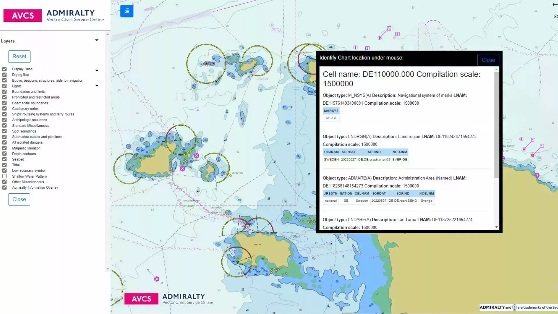
- Displays similar ECDIS functionality, including display controls and pick reports
- ENC images are automatically and regularly updated enabling confident shore-based decision making
Watch our film to learn how AVCS Online supports shore-based maritime decision-making;

Up-to-date global maritime ENC coverage
AVCS Online provides access to images from over 18,000 ENCs available at all scales, just like AVCS used on board ships.
Access world-leading global maritime ENC coverage from national hydrographic offices, following International Hydrographic Organization (IHO) industry S-52 standards.
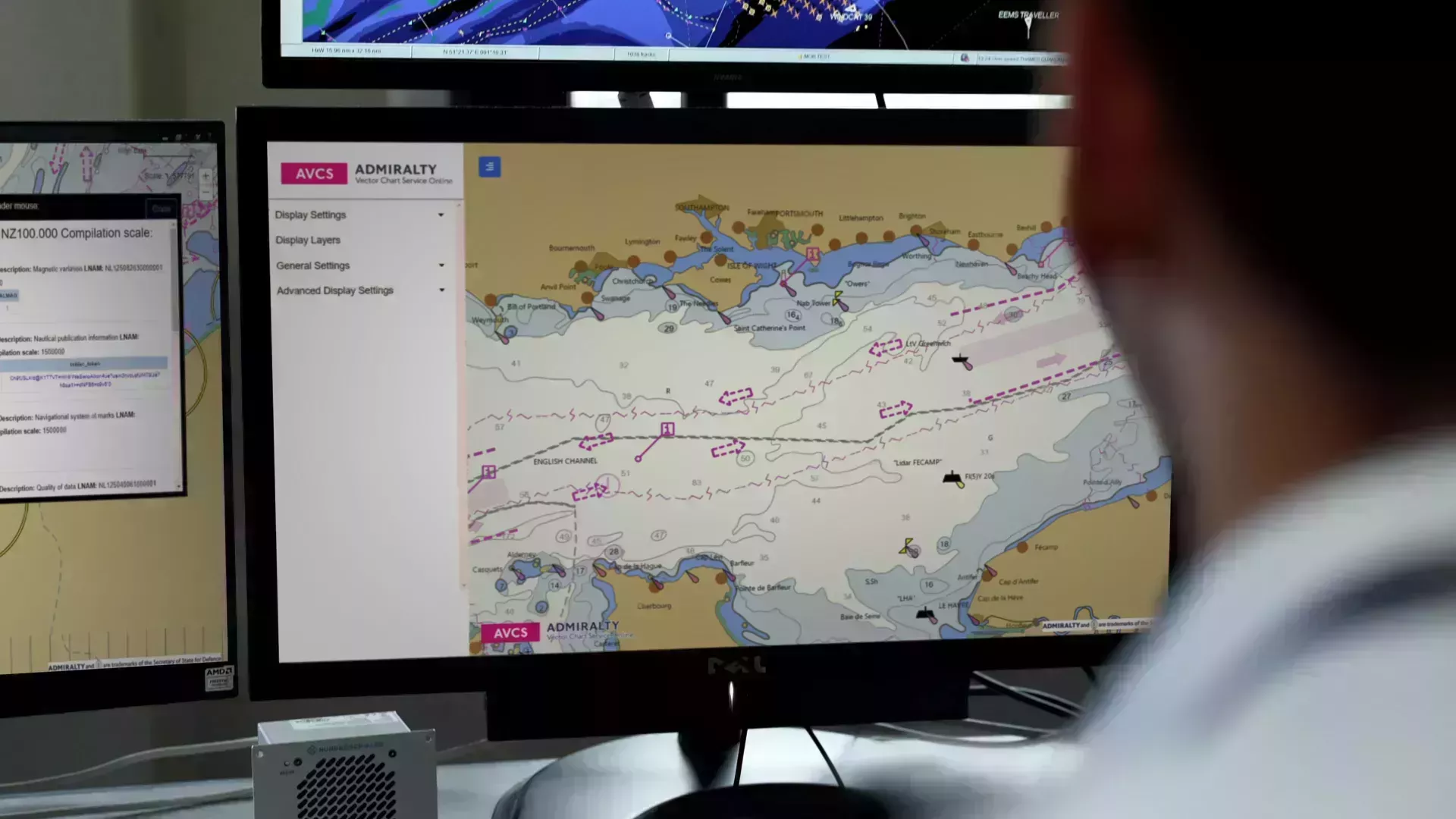
Replicate the on-board experience
AVCS Online displays similar chart functionality settings as on an ECDIS. Layer control settings and pick reports provide all the required chart information to support voyage planning from ashore.
ADMIRALTY Information Overlay
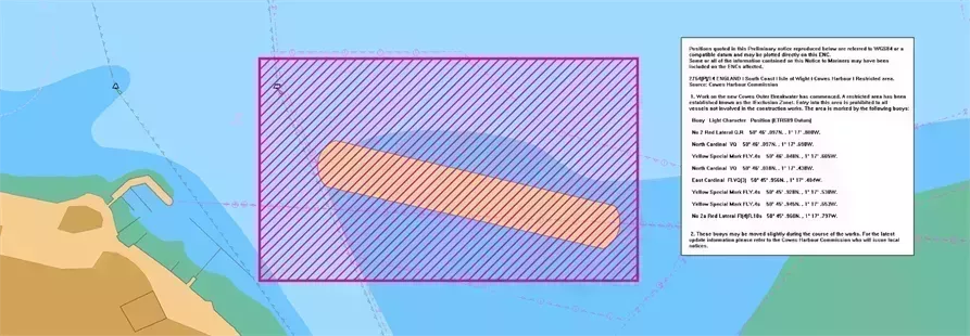
AVCS Online includes the ADMIRALTY Information Overlay (AIO), providing additional passage planning information such as ADMIRALTY Temporary and Preliminary Notices to Mariners for paper charts, where they are not included in the underlying ENC. AIO also highlights navigationally significant differences between ENCs and ADMIRALTY paper charts.
Timely updating
AVCS Online is automatically and regularly updated, providing you the confidence that your planning decisions have been made with the latest ENC images.
|
ADMIRALTY Technical Solution Providers |
|
Telephone |
Website |
Address |
|---|---|---|---|---|
|
ADMIRALTY Technical Solution Providers Bogerd-Martin NV |
|
Telephone +32 (0)3 213 4170 |
Website https://www.bogerdmartin.com/ |
Address Oude Leeuwenrui 37, |
|
ADMIRALTY Technical Solution Providers Guangzhou Haining Marine |
|
Telephone +86 20 84100924 |
Website http://haining.gz.coscoshipping.com/index.html |
Address |
|
ADMIRALTY Technical Solution Providers HiFleet |
|
Telephone +86 021 58991269 |
Website https://www.hifleet.com |
Address Room 403, |
|
ADMIRALTY Technical Solution Providers Roke Manor Research Limited |
|
Telephone +44 (0)1794 833000 |
Website www.roke.co.uk/products/geocollect |
Address Roke Manor Old Salisbury Lane SO51 0ZN Hampshire United Kingdom |
More information about these Technical Solution Providers is available on our ADMIRALTY How to Buy Page.
How to sell AVCS Online
Note: The ADMIRALTY Technical Solution Provider application has been removed from the website while we review the application process. Applications will not be accepted at this time. We will update this page once the review is complete.
More information about AVCS Online can be found in the information pack below:
View the AVCS Online Information Pack
Easy integration
AVCS Online uses internationally recognised Open Geospatial Consortium (OGC) standards and internet-accessible Web Map Service (WMS) protocols. It can be integrated seamlessly into existing systems as a chart base layer with other data layers added.
Sample our AVCS Online Discovery API
Before applying to become an authorised ADMIRALTY Technical Solution Provider you can sample, free of charge, the Web Map Service (WMS) capability via the AVCS Online Discovery API . You can access the Discovery API by signing up to our ADMIRALTY Developer Portal below:
ADMIRALTY ECDIS and ENC Reference Publications
Practical guidance to support the use and implementation of ECDIS and ENCs