 Skip to main content
What is the UK CSM?
Quality marine geospatial information is crucial for almost every activity undertaken in the marine environment, including:
- Maritime trade
- Informing sustainable environmental and resource management
- Supporting national security and infrastructure
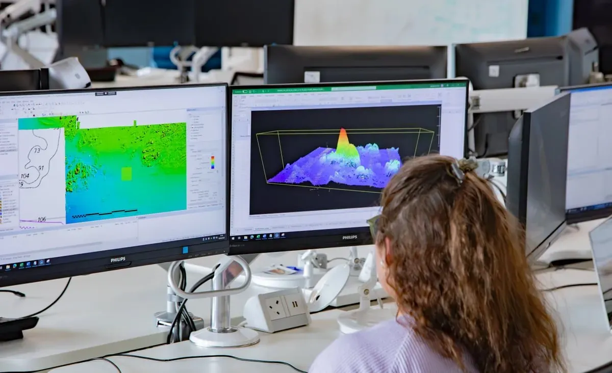
The UK is a world leader in seabed mapping, and the UK government alone invests in over 30 public sector organisations to collect and use it. There is an opportunity to establish and support a collaborative seabed mapping community which coordinates the collection, management and access of publicly funded data.
This collaboration is developing a network of all public stakeholders and an infrastructure to enable proactive and meaningful cross-government coordination and integration — in terms of operational activity and promoting the sector.
Four priorities the UK CSM seeks to address
The UK CSM (focusing on bathymetry) seeks to address four recommendations set out in The future of UK marine geospatial data study: Data Collaboration, Data Standards, Data Accessibility and Data Collection.
Collaboration
Creating conditions and developing infrastructure to enable our diverse community of stakeholders to come together to deliver significant, sustained and strategic benefits to the UK, particularly in the context of the Integrated Review, National Strategy for Maritime Security, and the UK’s Global Britain vision.
Data standards
Increasing the adoption of agreed UK and international standards for the collection of marine geospatial data and metadata. This would provide much needed consistency and interoperability in developing the marine geospatial ecosystem, and follow the "Collect once, use many times" principle, and also gives the private sector confidence of direction.
Data collection
There are at least 30 public sector organisations using public funds to collect or use data around the world for a wide range of purposes. This is largely carried out in isolation or small, topical collaborations. Having a centre will help stakeholders understand what data collection activities are planned and identify collaborative opportunities. This can in turn remove duplication, optimise economies of scale and the quality and quantity of data being collected under current funding.
Data accessibility
Data only has value if it can be clearly identified, accessed and used, and it’s important to get the balance right between enabling free access whilst also honouring intellectual property (IP) rights, national security and good data governance. As a community sector we will work to remove obstacles and find and implement holistic solutions.
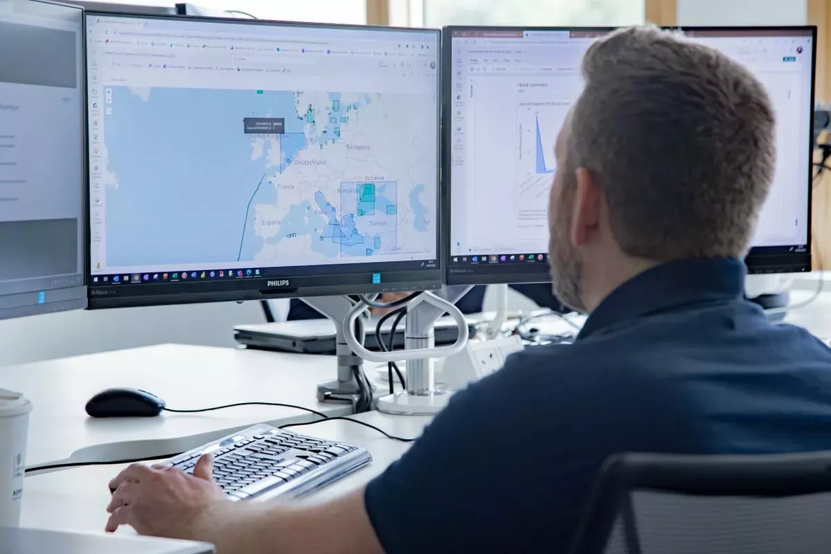
Planning Information Portal
UK CSM members have free access to the UK CSM Planning Information Portal. We restrict access to UK CSM member organisations only.
Please register your interest in joining the UK CSM using the form below.
Join the UK CSM
The members of the UK CSM invite all UK public sector organisations who share a common interest in optimising the UK’s national maritime assets for the security and prosperity of our country to become members of the UK CSM.
The UKHO has administered the UK CSM Management Team to establish proper governance and formalise the collaborative seabed mapping community.
The community consists of three layers that will guide and make any recommendations in collaboration:
- Working Groups: all members
- Management Group: representative from each member
- Steering Committee: governance at a government department level
Body"Data provided through the UK Centre for Seabed mapping collaboration underpins the fundamental science done within the British Geological Survey's seabed geology programme. Such data enables us to help with seabed conservation and management of the marine environment."


| Organisation | Application | Further information |
|---|---|---|
| Please apply filters to view results | ||
The future of UK marine geospatial data report
A collaborative study from partners across government, industry and academia reveals that groups responsible for gathering marine geospatial information must find new, more efficient ways of working together.
The UK CSM aims to deliver on the four recommendations set out in the evidence based report.
UN Ocean Decade
The creation of the UK Centre for Seabed Mapping (UK CSM) was submitted as a UK Government Voluntary Commitment to the United Nations at the UN Ocean Conference in Lisbon, Portugal, on 27 June 2022.
The UK CSM aims to contribute to the UN Ocean Decade SDG 9: Build resilient infrastructure, promote inclusive and sustainable industrialisation and foster innovation, and SDG 14: Conserve and sustainably use the oceans, seas and marine resources for sustainable development.
UK CSM included as part of the new National Strategy for Maritime Security
The Department for Transport has published its new maritime security strategy. One of the key principles of the UK government approach to managing maritime threats and risks at home, and around the world, is to improve the provision of marine geospatial data.
We support the government approach in leveraging the UK’s world-leading seabed mapping community to tackle these threats, and enhancing the UK’s maritime security knowledge through the recently established UK Centre for Seabed Mapping.
Report published highlighting the value of seabed mapping
A report, developed by Eunomia Research & Consulting, reveals the significant economic and environmental benefits of seabed mapping within the UK Exclusive Economic Zone (EEZ).
The report estimates that the average total benefits of seabed mapping in the UK EEZ is around £8.9 billion, compared with an estimated annual investment of £103 million a year. This represents an average estimate of cost benefit ratio of £86 benefit for every £1 spent.
Thanks to collective initiatives like the UK Centre for Seabed Mapping, the UK has a coordinated approach to the collection and management of bathymetric and marine data. However, advancements in seabed mapping technologies in recent decades have allowed for a more comprehensive and up-to-date understanding of the seafloor.
Title
Supporting safe, secure and thriving oceans
Whether reducing our carbon emissions to net zero or enhancing seaborne trade as part of Maritime 2050, a better understanding of our marine environment is key.
We work with others to build this understanding through the collection and analysis of data from seabed to surface. Our teams provide specialist expertise to help partners deliver projects that make the best use of the marine environment.
Title
Marine Geospatial Data from seabed to surface
Discover a wealth of marine geospatial data from the seabed, to the coast, offshore and beyond.