 Skip to main content
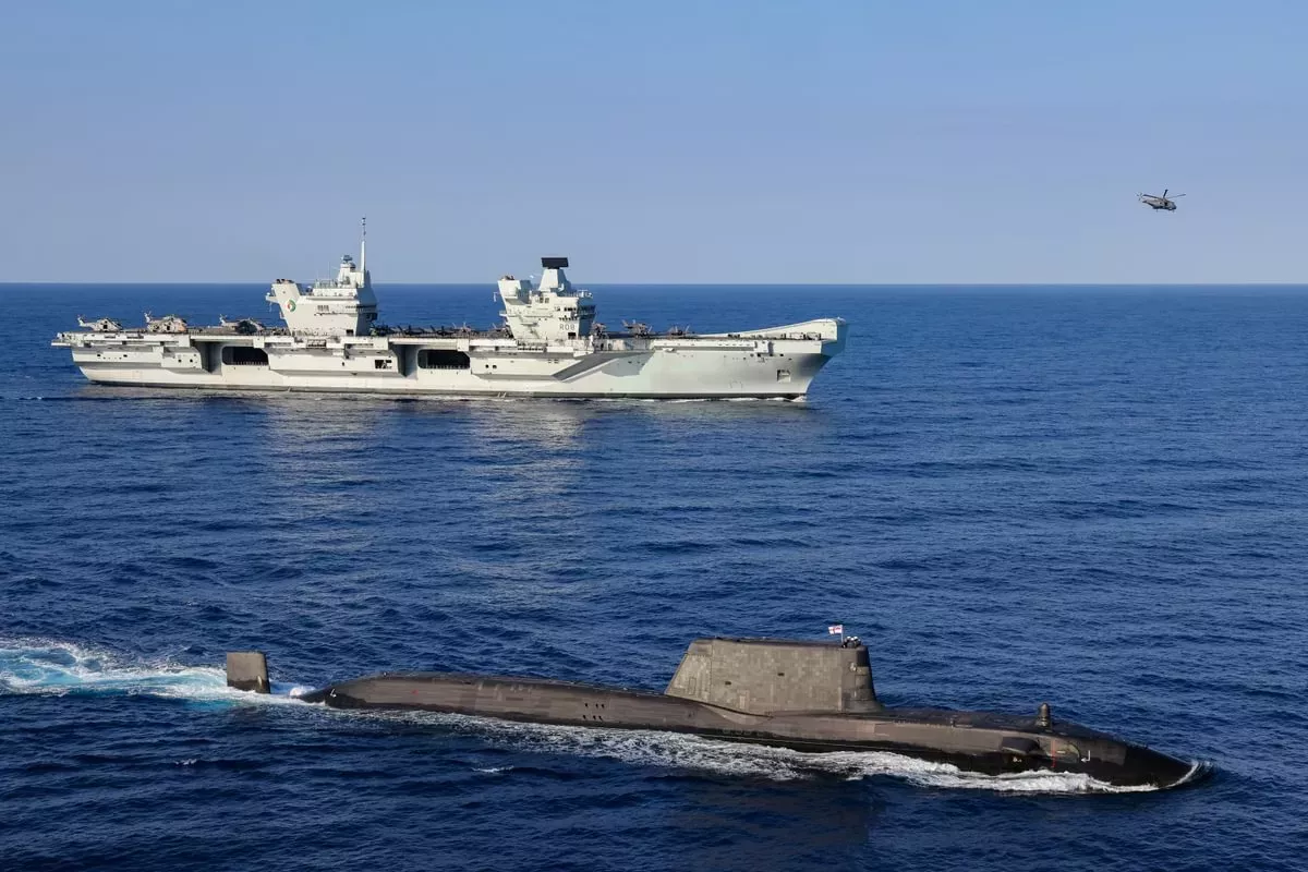
When protecting the national security of the UK, situational awareness is key. For the Armed Forces, this means having a clear understanding of the environment in which they are operating – which is why we work closely with the Royal Navy to help develop and enrich this understanding for the maritime domain.
To do so, our team of marine biologists, oceanographic analysts and other specialists bring together the information needed to carry out safe and efficient military operations. This stretches beyond navigation to include other tactically significant data, from ocean currents and temperature, to weather patterns and geology.
In the past year, we’ve been growing our capabilities so that we can process more data and build an even more detailed environmental picture. We achieved this by establishing a brand new computing environment that will allow us to process and assess up to 200TB of high-resolution data for our defence partners. As a result, we’re now able to provide richer data for an even wider range of activities.
Supporting unmanned aerial vehicles
For unmanned aerial vehicles, we can provide expected wind speeds for any hour of the day, any location, and can even predict the likelihood of disruptive winds occurring – all vital information for safe and effective operations.
While this is a single example of just one data set in our catalogue, the computing environment has significantly improved the way we process a range of data. Therefore we hope to be able to provide the best possible environmental picture for our partners, so that we can help support the safety and security of our nation.