 Skip to main content
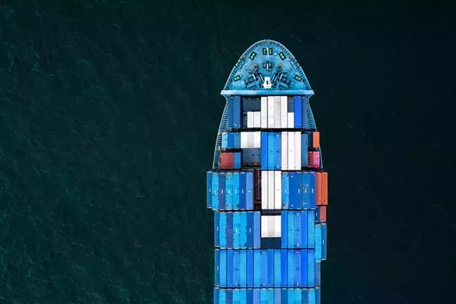
Supporting decarbonisation initiatives
Learn more about the initiatives the UK Hydrographic Office is involved with to support voyage optimisation, promote a more sustainable maritime industry, and help achieve our shared decarbonisation goals for global shipping.
Global Maritime Forum
The Global Maritime Forum (GMF) is an international not-for-profit organisation committed to shaping the future of global seaborne trade to increase sustainable long-term economic development and human wellbeing.
The forum brings together leaders from all parts of the maritime industry, from regulators and policy makers to intergovernmental institutions and academia, in order to address the most important issues that the industry is facing.
As a knowledge partner on the GMF Short-Term Actions Taskforce, the UKHO offers its hydrographic expertise to contribute to key research and insight pieces that will help unlock the potential of operational efficiencies and the fuel economies that come with it.
Blue Visby Consortium
The Blue Visby Consortium is made up of leading companies and organisations, collaborating to refine and test the Blue Visby Solution.
The Blue Visby Solution (BVS) seeks to address the issue of ‘Sail Fast Then Wait’ by introducing a queuing system for ships bound to the same destination port by synchronising and optimising the ocean passages of a group of vessels, allocating optimised arrival times, and ensuring an arrival frequency at which the port can handle.
As part of the consortium, the UKHO has contributed to the Blue Visby Solution by concepting the Blue Visby ‘Blue Box’ – a feature determining the start and end point of a BVS optimisation. By offering our marine geospatial data and expertise, we helped to develop a proof-of-concept methodology to understand how these ‘Blue Boxes’ could be identified and charted. This would enable a vessel to approach a port from any direction, rather than specifically having to plan a route through a specified ‘Blue Box’, reducing risk to crew and vessels.
Using our ports database, coastline data and information we hold on anchorages, we were able to create a 14 nautical mile ‘arc’ that vessels will pass over at the end of a voyage, minimising navigational impact and maximising optimisation potential. From this proof-of-concept, we are continuing to work with Blue Visby to take the next step and establish how these arcs can be drawn and displayed on navigational products and back-of-bridge software applications.
Smart Maritime Network
The Smart Maritime Network provides a platform to share data and improve collaboration among stakeholders in the maritime and transport logistics sectors. This is achieved through the sharing of key industry news, interviews, white papers, presentations, and conferences to share knowledge on maritime innovation in the sector.
As part of this, the Smart Maritime Council attend regular meetings to bring together representatives from a range of companies to build mutually beneficial partnerships and discuss issues related to compatibility, standardisation and harmonisation.
The UKHO has joined the Smart Maritime Network as a Smart Maritime Council Member. Through this, UKHO representatives regularly meet with other industry stakeholders within the network to offer expertise on hydrography, maritime navigation, and data sharing to help achieve the network’s shared goals.
Read more about how we are supporting sustainability
Search Title
Maritime connectivity: Enhancing decisions from ship to shore
Explore the benefits and opportunities of maritime connectivity from ship to shore.
Search Title
Decarbonisation of the shipping industry
By leveraging the power of marine geospatial data, the UKHO is supporting shared environmental initiatives to help decarbonise the industry.
Search Title
Navigating the maritime future at London International Shipping Week 2023
As part of London International Shipping Week (LISW) 2023, the UKHO hosted a panel discussion where experts discussed a range of challenges that face the maritime industry - from digitalisation to decarbonisation.
S-57 to S-101: Explaining the IHO standards for ECDIS
Find out more about the new and existing IHO standards for ECDIS and why they’re so crucial to ensure safe and efficient navigation at sea.
New HD ENCs available in ADMIRALTY Vector Chart Service
Eleven new 'high density' Electronic Navigational Charts (HD ENCs) are available through ADMIRALTY Vector Chart Service (AVCS).
The future of navigation relies on enhanced connectivity
High-speed, low-latency networks are vital to improving data exchange, ship-to-shore communications, and safety at sea.
S-100 trial data sets
In support of the development, testing and use of future S-100 products and services, we’ve created a range of S-100 trial data sets that are free to download.