 Skip to main content



Efficient passage planning depends on bringing together trusted information from multiple sources. As the volume of information available to bridge teams grows, the challenge is increasingly about finding what matters and understanding it efficiently.
We explore how reducing unnecessary friction can give navigators more time to focus on the decisions that support safe navigation.

Passage planning has always depended on bringing together information from multiple sources to build a safe and practical plan for the voyage ahead.
ENCs and nautical publications sit alongside Notices to Mariners, navigational warnings, weather and routeing information, port information, regulatory requirements and company procedures. Increasingly, navigators may also need to consider factors such as fuel efficiency and environmental reporting.
None of these requirements are new in isolation. But together they contribute to an increasingly information-rich environment on the bridge.
As connectivity improves and more information becomes available digitally, the challenge is shifting from accessing information to identifying what really matters and understanding its relevance to a safe voyage.
More information does not always mean better information
Connectivity has transformed the amount of information available to bridge teams and the speed at which they can access it. But giving a navigator more information does not automatically give them a better understanding of the voyage.
Information still needs to be trusted, relevant and presented in a form that helps rather than hinders the task at hand, giving navigators confidence in the information they use to inform their decisions.
This is particularly important during passage planning. Navigating officers spend significant amounts of time searching across different sources and formats, identifying the information relevant to their voyage, and recording it as part of the planning and compliance process.
Whilst passage planning is essential, unnecessary effort spent locating and extracting information can add friction to the process without necessarily adding to the navigator's understanding. Research by the World Maritime University, commissioned by Lloyd's Register Foundation, has highlighted the importance of user-friendly system design and reducing cognitive load as maritime operations become increasingly digital.
There is an opportunity to think not only about what information we provide, but how easily navigators and other maritime professionals can find and use it.
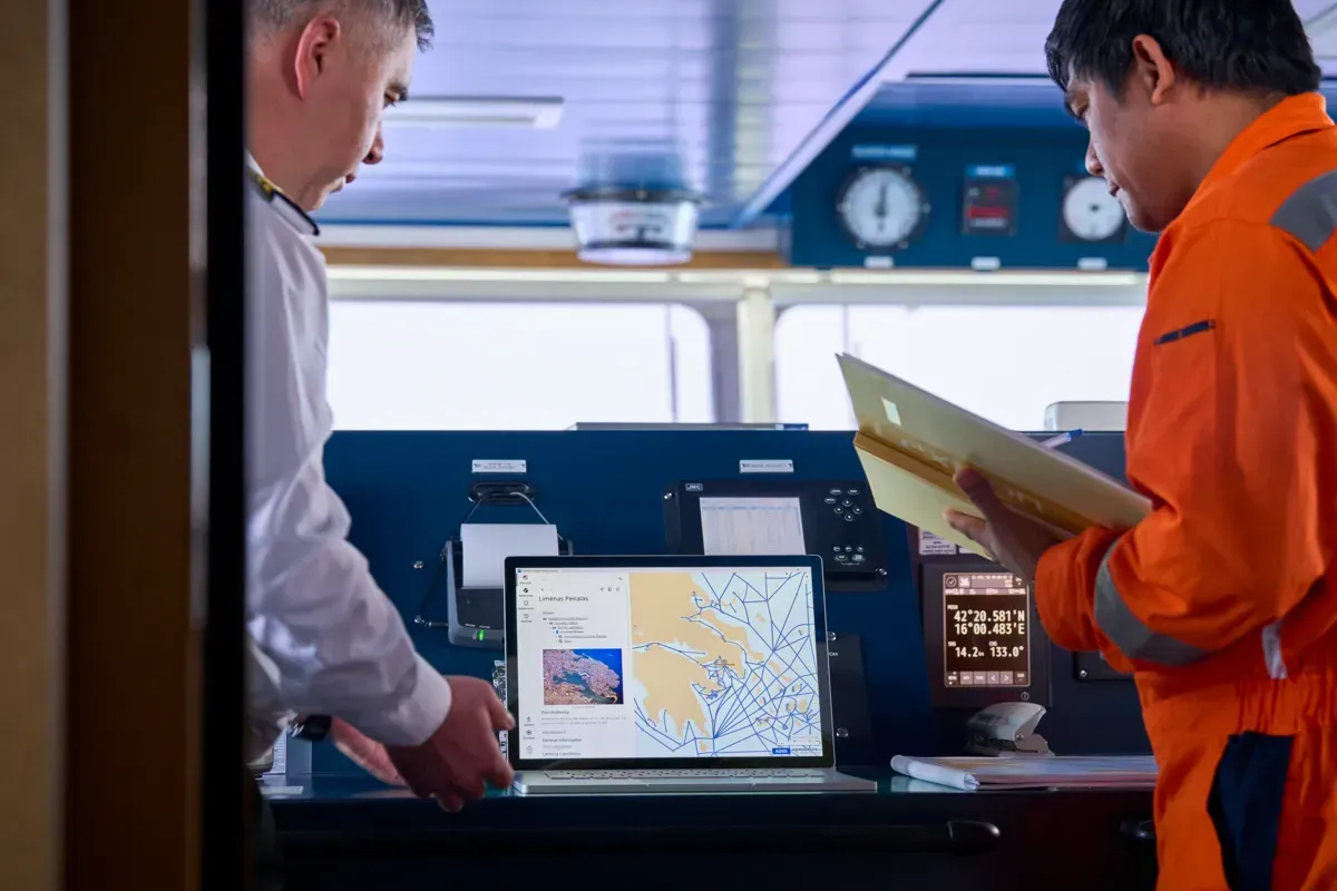
Designing around the task
Removing friction from passage planning does not mean removing the navigator from the process.
Professional judgement remains fundamental. The navigator must still appraise the available information, understand the characteristics of the vessel and intended voyage, identify hazards and constraints, and determine an appropriate plan.
Technology can, however, make some of the steps around those decisions easier.
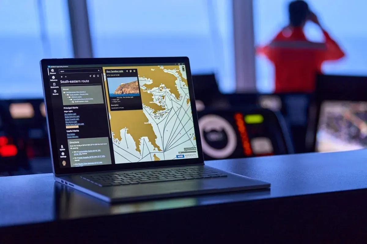
Search is a simple example. Digitising a publication can make it easier to store and distribute, but that does not necessarily make the information within it easier to find. If a navigator still has to work through a lengthy digital publication to locate information relevant to a particular part of the voyage, one source of friction has simply moved from paper to screen.
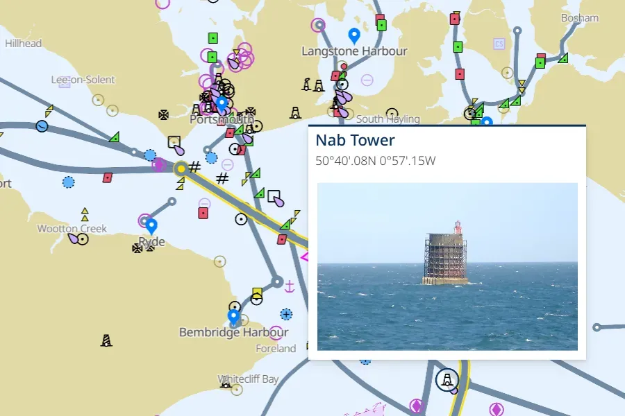
The same applies to geographic context. Navigational information frequently relates to a particular place: a stretch of coastline, an approach, a port or a specific feature. Presenting that information in a way that makes its geographic relevance immediately clearer can help the navigator connect what they are reading with the voyage they are planning.
These might sound like relatively modest improvements compared with some of the bigger technological changes taking place on the bridge. But good digital design does not always need to introduce more functionality. Sometimes its value lies in making an existing task simpler.
Evolving how navigators use trusted information
Sailing Directions provide a useful example.
For generations, navigators have used Sailing Directions to supplement the information shown on nautical charts, providing detailed information for coastal navigation and port entry.
The value of that information remains. But feedback from navigators showed that finding the information they needed by clicking through electronic publications — or flicking through their paper equivalents — could take too much time and add unnecessary mental effort to the planning process. The requirement wasn't necessarily for more information. It was for a quicker and easier way to use the trusted information already available.
That thinking informed the development of Admiralty Digital Sailing Directions (ADSD).
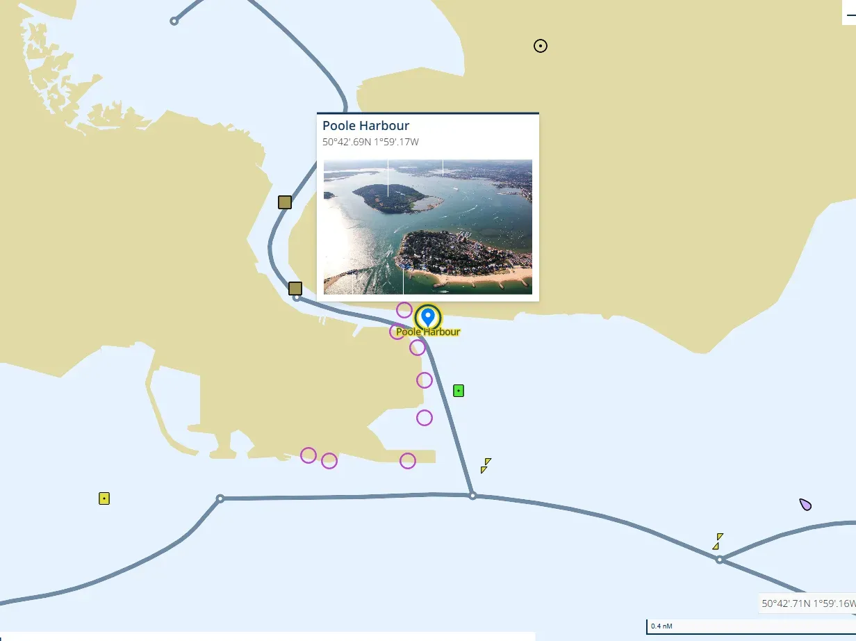
Rather than reproducing a traditional publication in another digital format, ADSD presents Sailing Directions as geo-referenced information. Navigators can search and filter the content and view information in its geographic context, helping them identify what is relevant to the voyage they are planning.
Testing with navigators suggests that seemingly small changes to the way information is accessed can make a meaningful difference. In user testing cited by the UKHO, 88% of respondents found ADSD intuitive or easy to use, 91% found its geo-display easy to understand and 88% said it saved time during passage planning.
Giving time back to the navigator
The future of passage planning is likely to involve even more information rather than less. Greater ship-shore connectivity, evolving regulation and new navigational technologies will continue to increase the range of information available to those planning and executing a voyage.
That makes usability increasingly important.
The objective should not be to automate professional judgement or simply place more data in front of the bridge team. It should be to reduce unnecessary workload around the decisions navigators need to make: helping them find trusted information that they have confidence in, understand its relevance and build a clearer picture of the voyage ahead.
Because reducing friction in passage planning is ultimately not about doing less planning. It is about allowing navigators to spend more of their time and attention on the part that matters most: understanding the voyage and making informed navigational decisions.

Name
Michelle Tarr
Michelle Tarr is a Senior Product Manager at the UK Hydrographic Office, where she leads the team responsible for the Admiralty portfolio of charts, publications and digital services.
Her work focuses on the strategic transformation of the publications portfolio, developing a customer-led roadmap that responds to evolving technology, regulation and the changing needs of mariners.
Admiralty Digital Sailing directions is available from Admiralty distributors
ADSD is available through the global Admiralty distributor network, supporting vessels and operators with trusted navigational products, services and support worldwide.
Read more on this topic

Search Title
Understanding ECDIS: Beyond the default 30m safety contour
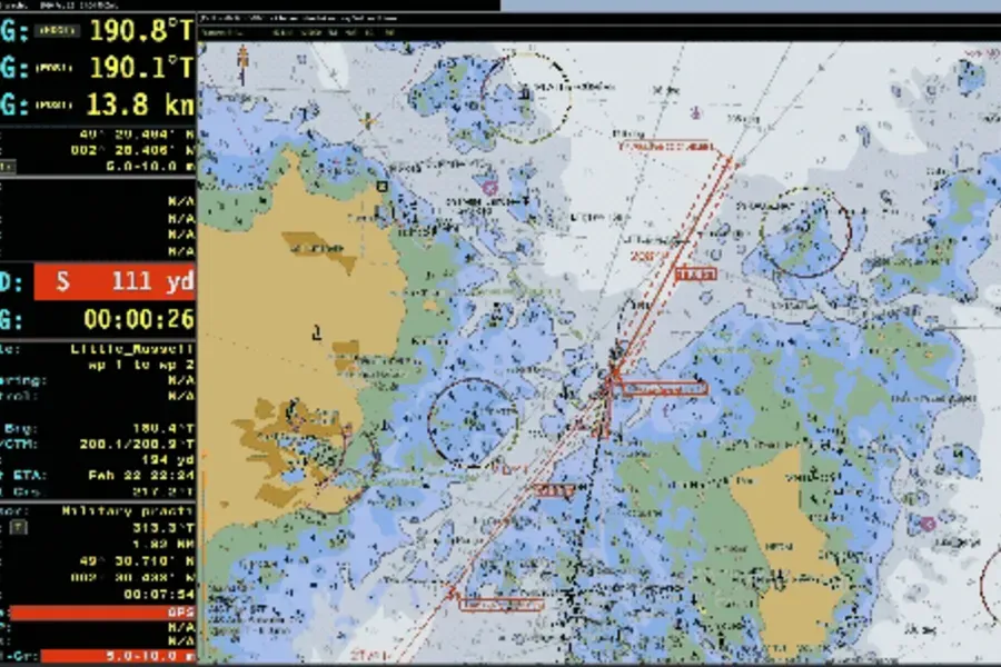
Setting the ECDIS safety contour correctly is one of the most effective things a bridge team can do to prevent grounding. When configured for the vessel's actual draught, margins and operating conditions, it controls how depth information is displayed in ECDIS and alerts the crew before the vessel approaches unsafe water.
Search Title
Understanding ECDIS alerts: How to reduce alarm fatigue
For most navigators, the sound of an ECDIS alert is unmistakable. Depending on the watch, an ECDIS alert can mean anything from a routine chart update to an imminent grounding risk. The challenge is knowing which is which – and acting accordingly.
Search Title
Why ECDIS training remains critical for safe navigation
New data from NorthStandard highlights where bridge teams are confident with ECDIS and where understanding can be strengthened.